







About this worksheet
This Grade 2 Earth science worksheet practices recognizing features on Earth’s surface and representing them in a simple model. Learners name natural features from picture clues, identify landforms and bodies of water from descriptions, and draw a hill, river, and lake with water flowing downhill. The 14 questions include a separate answer key and connect to NGSS 2-ESS2-2.
Aligned to 2-ESS2-2
What can you identify on Earth’s surface?
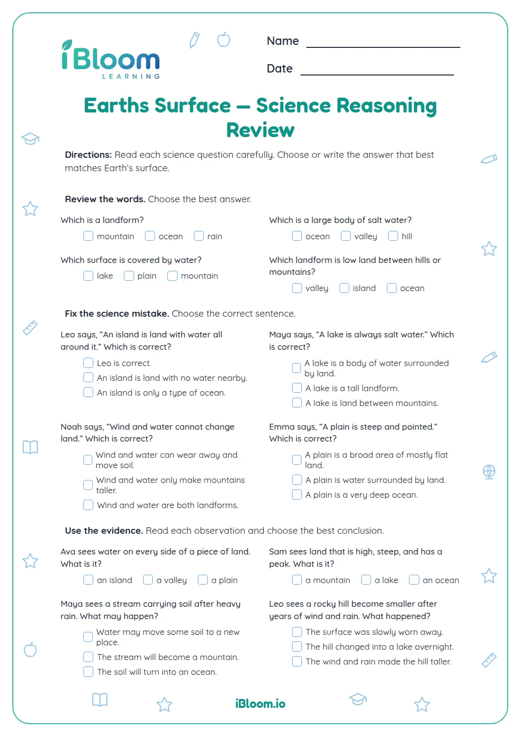
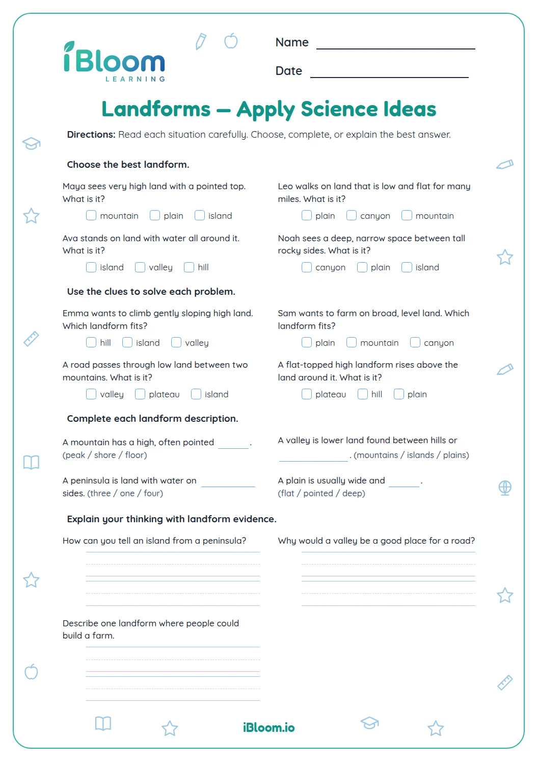
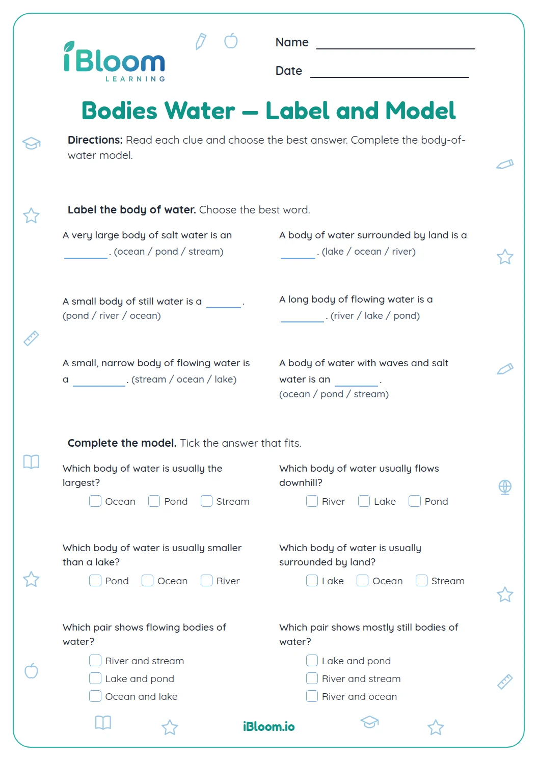
Land features include mountains, valleys, and islands. Water features include oceans, lakes, and rivers. The first questions use simple icons, followed by descriptions that focus on how each feature is shaped or where it is found.
How can a model show land and water?
A simple model uses shapes and labels to represent an area. It can show higher land, a lower path for a river, and a lake where the water collects. The drawing does not need to look like a photograph; the important part is showing the features and their arrangement.
What should the final drawing include?
For q14, draw a hill, a river, and a lake, then show water moving downhill. The answer key lists the features and flow a correct model should include.
How to use this worksheet
- 1Name the natural thing shown in each icon.
- 2Read the feature description for clues about shape or location.
- 3Distinguish a flowing river from a lake or ocean.
- 4For the model, include the hill, river, and lake.
- 5Add arrows or another clear mark to show water flowing downhill.
Common mistakes and quick fixes
The mistake
Calling a valley a mountain.
The fix
A valley is low land between higher areas.
The mistake
Drawing an island without surrounding water.
The fix
Show water on all sides of the land.
The mistake
Showing a river as a closed lake.
The fix
Draw the river as a flowing path.
These activities connect practice to the following standard.
Represent land and bodies of water and show how they are arranged.
On this sheet:
Show the official wordingHide the official wording
Develop a model to represent the shapes and kinds of land and bodies of water in an area.
What to practice next
Make more practice
Further reading
Questions parents and teachers ask
What land and water features are practiced?
The questions include mountains, valleys, islands, oceans, lakes, rivers, waves, and other natural things shown by the icons. Learners use descriptions to identify features and finish by representing land and water together in a simple model. The first six picture clues ask for the pictured item’s name.
What should the final model show?
The final drawing should include a hill, a river, and a lake, with water shown flowing downhill. The learner can use arrows or another clear mark to show the direction. The answer key gives those elements as the model criteria.
Does the worksheet require a detailed map?
No. The drawing prompt asks for a simple model of an area. Clear shapes and labels are enough if they show the named features and make the water’s downhill flow easy to understand. Arrows can show the direction of flow.
How can I help a learner distinguish a river from a lake?
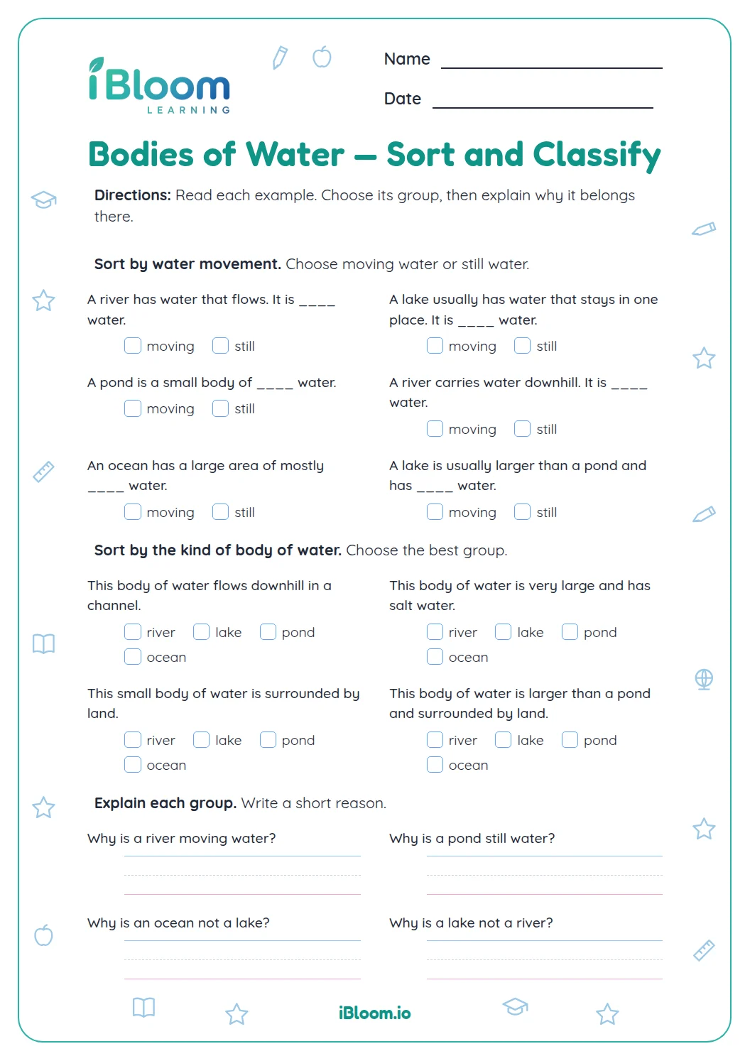
A river is water that flows along a path across land. A lake is a body of water surrounded by land. Ask the learner to describe whether the feature is a flowing path or a contained area, then name it.
How does the page use picture clues?
The first six items pair a simple icon with a prompt to name the pictured natural feature or thing. These are followed by written descriptions, so learners practice both recognizing an image and recalling feature vocabulary. The last item asks for a model drawing.