








About this worksheet
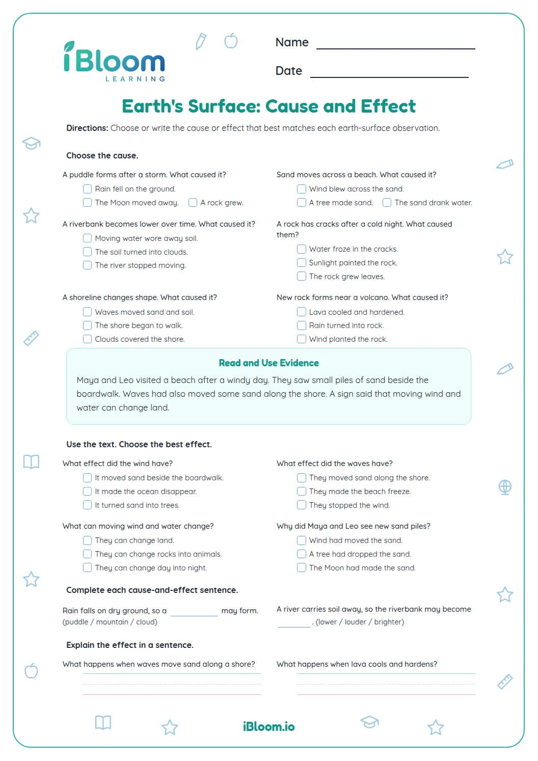
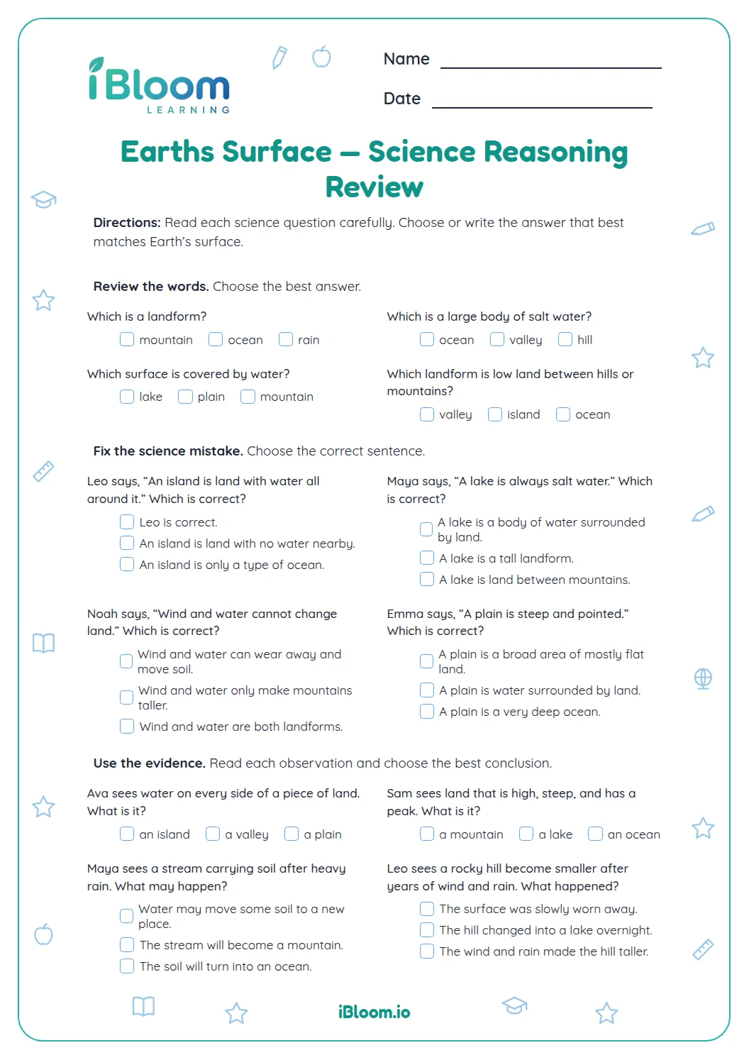
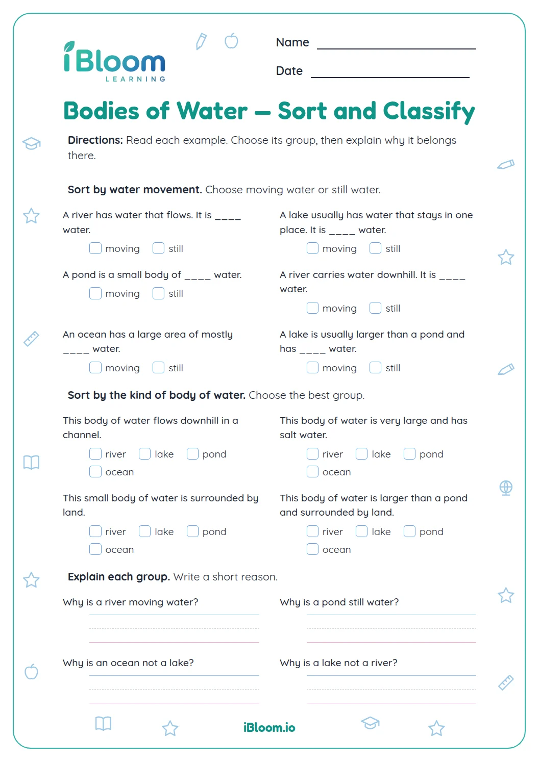
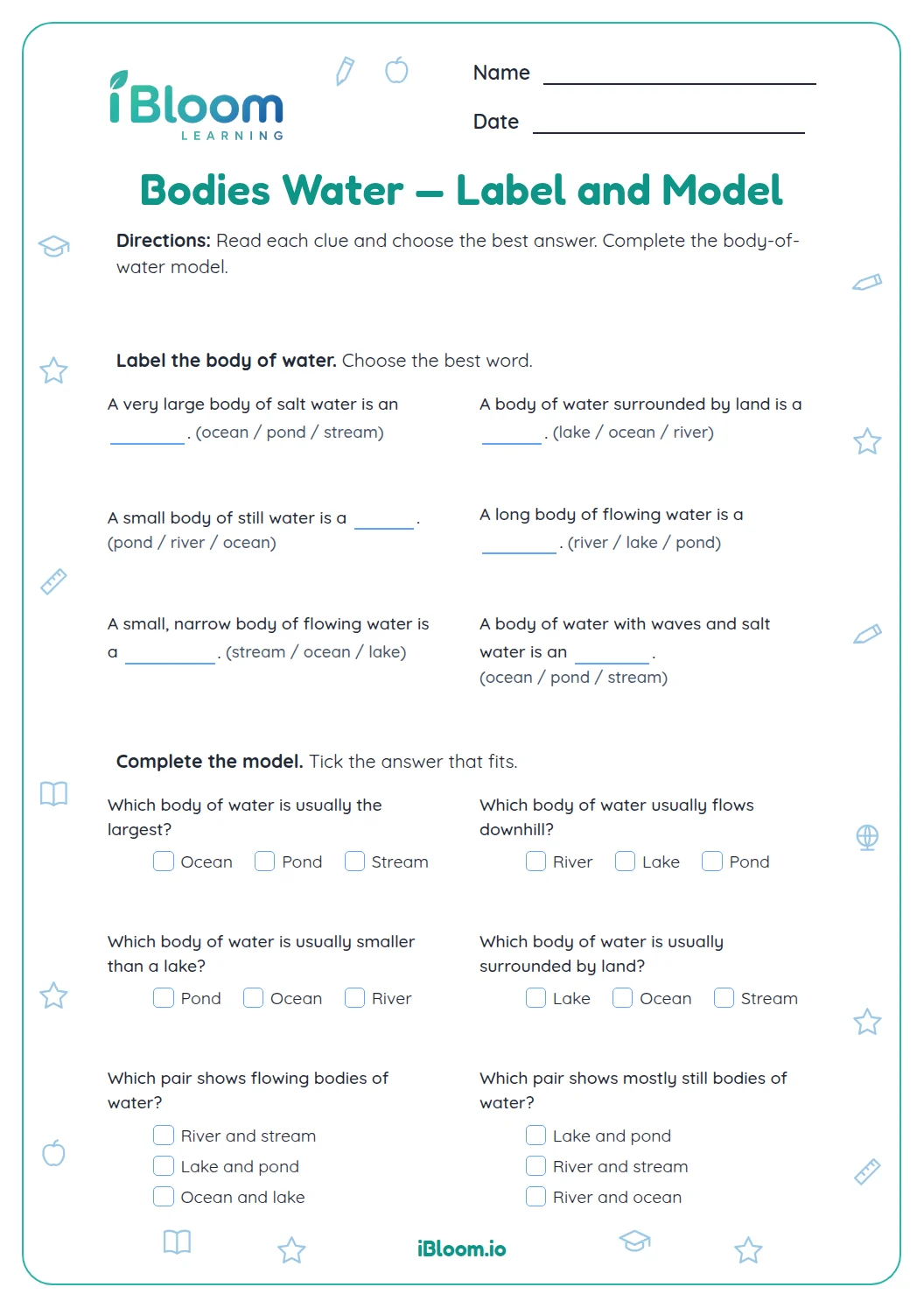
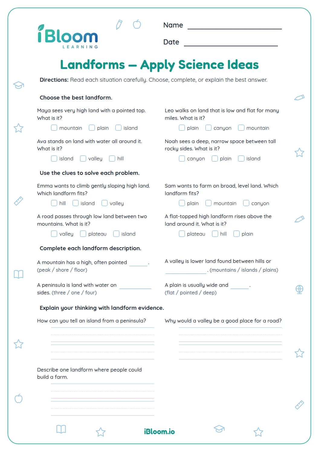
This Grade 2 Earth science printable helps students sort landforms from bodies of water and recognize basic features such as mountains, valleys, plains, ponds, and streams. After multiple-choice and short-answer practice, students draw a simple area map with one landform and one body of water. The two worksheet pages and separate two-page key align with NGSS 2-ESS2-2 through representing kinds of land and water in an area.
Aligned to 2-ESS2-2
Which land and water features appear on the sheet?
The first part sorts features such as mountains, rivers, lakes, hills, and valleys. The next part uses clues about size, shape, or movement to identify a feature. The final task asks students to draw and label a landform and a body of water.
Question 15 is a drawing task, so student maps can look different. The key checks for one clearly labeled example of each kind of feature.
How can you tell a landform from a body of water?
Ask whether the feature names solid land or an area of water. Some landforms may be next to or surrounded by water, but the landform itself is land.
- 1Question 2: Classify: mountain — land or water?
- 2A mountain is solid ground.
- 3Answer: land
What clues help identify a feature?
A plain is a broad, mostly flat area of land. A stream is a small flowing body of water. A valley is a lower area between higher land, such as hills or mountains. Use the whole clue before choosing.
What belongs on the area map?
Draw a simple outline or scene that includes at least one landform and one body of water, then label both. The map need not show exact scale. The labels make clear which feature is land and which is water.
How to use this worksheet
- 1Read each feature name and decide whether it is land or water.
- 2Use the entire description when identifying a feature.
- 3Check that a water feature and a landform are not confused because they touch.
- 4For the map, draw one example of each and label both clearly.
- 5Compare classification answers with the key; accept other clear map designs.
Common mistakes and quick fixes
The mistake
Calling an island a body of water because water surrounds it.
The fix
An island is land; the surrounding water does not change the feature itself.
The mistake
Calling every low area a valley without checking its position.
The fix
Look for the clue that it lies between higher areas.
The mistake
Drawing a map but leaving the features unlabeled.
The fix
Add a label to one landform and one body of water.
Curriculum alignment
This page practices landforms and bodies of water through grade-appropriate examples.
Model the shapes and kinds of land and water in an area.
On this sheet: Students classify land and water features and draw a simple map model.
Show the official wordingHide the official wording
Develop a model to represent the shapes and kinds of land and bodies of water in an area.
What to practice next
Make more practice
Further reading
Questions parents and teachers ask
How many questions are on this Earth science worksheet?
There are 15 questions in three parts across two worksheet pages. Students sort land and water, identify features from clues, and finish with a small area map. A separate two-page answer key is included. This gives children a concrete chance to practice the idea and explain their choices.
Which features do students classify?
The practice includes familiar landforms such as mountains, hills, valleys, and plains, along with bodies of water such as oceans, lakes, rivers, ponds, and streams. The prompts ask children to use basic descriptions as well as names. This gives children a concrete chance to practice the idea and explain their choices.
What should the area map show?
It should include one landform and one body of water, with each feature labeled. The drawing can be simple and does not need to match a single model; the labels and two required kinds of features are the important parts.
What does NGSS 2-ESS2-2 mean for this page?
This performance expectation asks students to develop a model representing the shapes and kinds of land and bodies of water in an area. The map prompt gives students a simple way to represent one land feature and one water feature.
Can a stream and a river both be water features?
Yes. Both name flowing water. The sheet uses a stream as an example of a small flowing body of water, while a river is another familiar flowing feature students classify as water. This gives children a concrete chance to practice the idea and explain their choices.